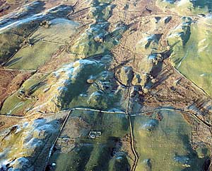
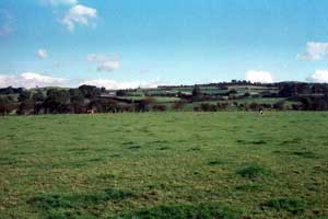
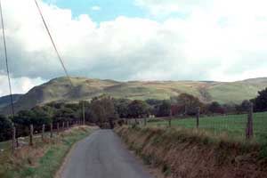
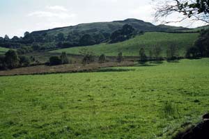
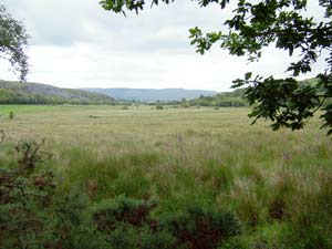
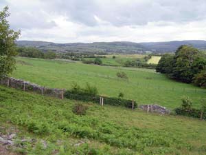
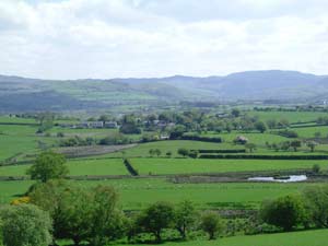
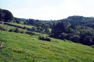
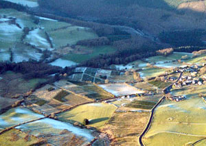
Afon Groes
Dispersed farms in a landscape of small, hedged fields spread along
the valley floors of several minor rivers and bounded by upland
characterise the Afon Groes landscape. |
|
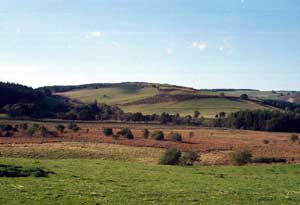
Berthddu
Dispersed farms and fields of improved pasture divided by earth
banks and hedges characterise the Berthddu historic landscape character
area. |
|
Berwyn
Berwyn consists of the floor and lower sides of an upland, steep-side
valley. Fields are small and divided by stony banks or dry-stone
walls. There are just a couple of farms. |
|
Blaen
Sychnant
Deserted cottages and abandoned fields set in improved pasture
with pockets of rough grazing characterise the Blaen Sychnant historic
landscape. |
|
Blaenau
Caron
Fields divided by banks and hedges or by dry-stone walls, and dispersed,
small farms spread across the open floor and lower slopes of the
Afon Groes and its tributaries characterise the Blaenaucaron landscape. |
|
Bwlchddwyallt
& Blaengorffen
Large fields of improved pasture and dispersed farms are the main
components of the Bwlchddwyallt and Blaengorffen historic landscape
area. Small stands of scattered deciduous woodland give a parkland
feel to parts of the landscape. |
|
Capel Helaeth
Capel Helaeth consists of 19th century dispersed smallholdings
and cottages in a landscape of fields of pasture. Many of the traditional
hedged boundaries are now derelict and are replaced by wire fences.
Several deserted cottages and smallholdings are present. |
|
Cefn
Meurig
Small irregular fields separated by banks and hedges or, less commonly,
dry-stone walls, and a settlement pattern of dispersed farms are
the main components of the Cefn-Meurig historic landscape character
area. |
|
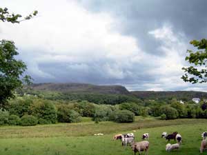
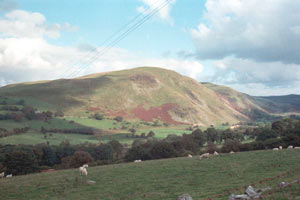
Cnwch
Cnwch is pocket of unenclosed moorland surrounded on most sides
by 20th century coniferous plantations. There are no settlements
in the area, but the remains of stone quarrying are a historic landscape
component. |
|
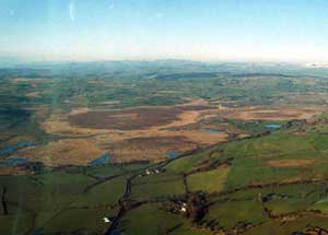
Cors
Caron
Cors Caron is a large, raised bog within the upper valley of the
Afon Teifi. |
|
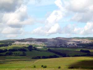
Craig
y Bwlch
Open moorland with evidence of former settlements and field systems,
and a large working stone quarry are the main components of the
Craig y Bwlch landscape. |
|
Craig
y Fintan
Craig-y-Fintan is a block of unenclosed steep valley side, as well
as a plateau rising to over 450m, that are now separated from wider
tracts of moorland by a coniferous plantation. There are no settlements,
but old dry-stone field boundaries are evident. |
|
Craig
Ystradmeurig
Craggy moorland with pockets of improved pasture characterise the
small historic landscape area of Craig Ystradmeurig. |
|
Cwm Berwyn
Coniferous plantations established in the 1960s form the main components
of the Cwm Berwyn historic landscape. These were mainly planted
over open moorland, but a number of old field systems and settlements,
and Bronze Age funerary and ritual sites are also covered by the
forestry. |
|
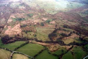
Cwm Gwyddyl
Dispersed farms and cottages – some abandoned - lying in
a wide, open valley are some of the main components of the Cwm Gwyddyl
landscape. This area appears to be mainly unenclosed rough grazing,
but closer inspection reveals numerous old field boundaries and
pockets of improved pasture. |
|
Cyrtau
& Brynhownant
Cyrtau and Bryn-Hownant historic landscape character area consists
of medium-sized fields of pasture on a hillside sandwiched between
landscapes of lower-lying farms/farmland and higher unenclosed moorland. |
|
Dolbeudiau
Dolyrychan
Dolbeudiau – Dolyrychain historic landscape character area
is composed of dispersed farms and small- and medium-sized fields
of improved pasture. |
|
Ffair
Rhos
A fairly dense distribution of 19th century cottages and smallholdings
that probably originated as squatter settlements, in a landscape
of rough grazing and a little improved pasture comprise the landscape
of Ffair Rhos. |
|
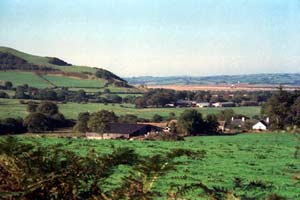
Fulbrook
Fullbrook is a landscape of dispersed, small farms and small fields
divided by banks with hedges, lying on hilly ground to the west
of Cors Caron. |
|
Geufron Hendrefelen
A few dispersed farms and small irregular fields of pasture divided
by banks with hedges characterise the Geufron – Hendre-Felen
historic landscape character area. |
|
Gwar
Castell
Gwar Castell originated as an 18th and 19th century squatter settlement,
but now all but one of the many houses here have been abandoned.
Apart from pockets of improved pasture, the land has reverted to
rough grazing/moorland. |
|
Heolfryn
& Dolbeudiau
Heolfryn and Dolbeudiau landscape consists of a regular field system
of earth banks topped with hedges that originated in the late 18th
and early 19th century, and a few dispersed farms and houses. |
|
Llethr
Llwyd
Open moorland with numerous Bronze Age funerary and ritual sites,
and the remains of several Medieval and post-Medieval settlements
characterise the Llethr Llwyd historic landscape character area.
|
|
Llwynmalus
Small- and medium-sized fields divided by hedges on earth banks
are the main components of the small historic landscape character
area of Llwynmalus. There are no settlements. |
|
Mynydd Bach
Ystwyth Valley
Mynydd Bach – Ystwyth Valley historic landscape character
area consists of 20th century coniferous plantations. These were
established over open ground or deciduous woodland. |
|
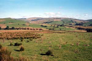
Nant Cou &
Nant Ochrgarreg
Small dispersed farms, irregular fields, stands of deciduous woodland,
rough grazing and improved pasture on the edge of high, open moorland
characterise the Nant Cou and Nant Ochrgarreg historic landscape
character area. |
|
Pantyfedwen
& Crofftau
Occasional dispersed farms, fields divided by earth banks with
hedges or by dry-stone walls, improved pasture and pockets of rough
grazing, and stands of deciduous and coniferous woodland are the
main components of the Pantyfedwen and Crofftau upland margin historic
landscape character area. |
|
Pen-y-Graig
Small fields of improved pasture separated by dry-stone walls and
occasionally by hedges on earth banks, and a few dispersed farms
are the main components of the Pen-y-Graig historic landscape. |
|
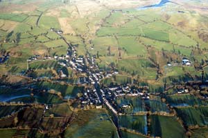
Pontrhydfendigaid
Pontrhydfendigaid developed in the late 18th and 19th centuries
in conjunction with the growing lead mining industry. It is a small
village, with worker houses dating mainly to the second half of
the 19th century, and modern housing and other facilities built
on the village fringes. |
|
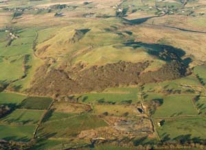
Rhos
Brynberllan
Rhos Brynberllan is a small hill of former moorland that is now
mostly improved pasture lightly enclosed by wire fences. There is
a little deciduous woodland on one of its flanks. An Iron Age hillfort
lies on the hill. |
|
Sunnyhill
Substantial dispersed farms, fields of improved pasture divided
by banks with hedges and deciduous woodland on some valley sides
characterise the Sunnyhill historic landscape. |
|
Swyddffynnon
The settlement pattern of Swyddffynnon historic landscape consists
of small, dispersed farms and a hamlet. These lie in a landscape
of improved pasture divided into small fields by hedges on banks. |
|
Tanygraig
The small historic landscape character area of Tanygraig is characterised
by a few dispersed farms and pasture fields divided by dry-stone
walls. |
|
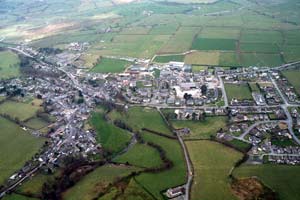
Tregaron
Tregaron, a small town, is the only substantial settlement in upland
Ceredigion. It is not a planned town and buildings front onto narrow
winding streets. Apart from the medieval parish most buildings date
to the 19th and 20th centuries. Houses are small and generally in
short terraces. |
|
Tyn-y-banadl
Tyn-y-Banadl is a small historic landscape character area on the
edge of Cors Caron, comprising a regular field system divided by
banks with hedges. There are no settlements. |
|
Tyngraig
Dispersed farms, boundaries of banks with hedges or dry-stone walls,
a 19th century linear hamlet, deciduous woodland, small coniferous
plantations, and improved pasture with pockets of rough grazing
are all components of the Tyngraig historic landscape. |
|
Taiunnos
Deserted cottages and houses of late 18th and 19th century squatter
settlements now set in moorland and rough grazing characterise the
Tai-unnos historic landscape. |
|
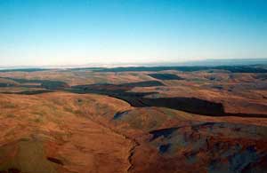
Y Drum
Y Drum is a relatively small block of unenclosed moorland separated
from wider tracts of open land by a forestry plantation. There are
no settlements, but sites of probable post-Medieval houses indicate
a landscape more intensively exploited in the past. |
|
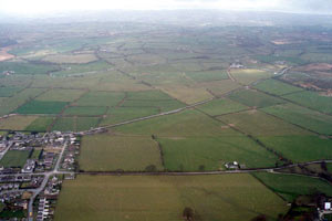
Ystrad Caron
Regular fields of improved pasture divided by banks with hedges
and a couple of substantial farms characterise the Ystrad Caron
landscape. |
|
Ysbyty
Ystwyth Fields
Ysbyty Ystwyth field system historic landscape area is the only
identified sub-divided arable field system in upland Ceredigion.
It was enclosed into today’s pattern of small fields by the
early 19th century. It is now characterised by pasture, rough grazing
and small coniferous plantations, although traces of the earlier
system are still visible. |
|
Ystrad Fflur
The remains of Strata Florida Abbey, a post-Medieval church and
the 17th – 19th century gentry Great Abbey Farm lie at the
heart of the Ystrad Fflur landscape. It is, however, essentially
an agricultural landscape of dispersed farms and fields, with some
remains of the lead mining industry. |
|
Ysbyty
Ystwyth & Pontrhydygroes
Ysbyty Ystwyth and Pont-rhyd-y-groes is a complex historic landscape
character area that comprises two, mainly industrial, villages,
but with Ysbyty Ystwyth having agricultural origins. The remainder
of the area is characterised by dispersed squatter settlements,
occasional small farms, and remains of the lead mining industry. |
|
Ystradmeurig
A group of 19th century buildings form the village of Ystradmeurig,
with modern houses at Tynyffordd. However, this is mainly an agricultural
landscape of dispersed farms and small fields of pasture. |
|