Home > Historic Landscape Characterisation > Upland Ceredigion > |

 CRAIG YSTRADMEURIG
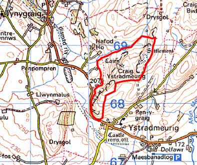
GRID REFERENCE: SN 705684
AREA IN HECTARES: 63.0
Historic Background
In the Medieval Period this area probably lay within Strata Florida Abbey’s Mefenydd Grange. On the Dissolution it is likely that its upland nature ensured that it was considered Crown land. Formerly this unenclosed land would have been much more extensive, and it would have linked with an area to the northeast, but the creation of large enclosures neighbouring this area in the 19th century essentially isolated it (Spytty Ystrad Meurig Tithe Map and Apportionment, 1843).
Description and essential historic landscape components
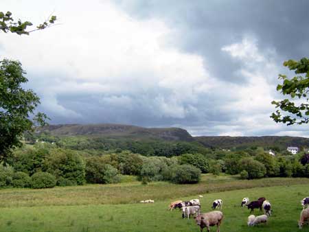
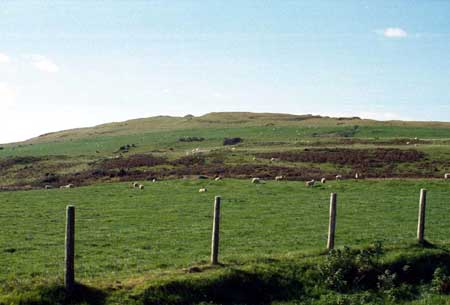
A small block of craggy upland between 200m and 340m. Included in this area is the west-facing cliff-face of Craig Ystradmeurig. The area is essentially unenclosed, though some broken down dry-stone walls are present and wire fences divide it into very large fields. Improved grazing is present, particularly on the summits, but the steep craggy slopes are covered with rough pasture.
Recorded archaeology consists of a substantial Iron Age hillfort and a Bronze Age round barrow.
This area is well defined to the south, west and north where it meets areas characterised by field systems of small enclosures. To the east it fades into a block of large enclosures of improved pasture.
Base map reproduced from the OS map with the permission
of Ordnance Survey on behalf of The Controller of Her Majesty's Stationery
Office, © Crown Copyright 2001.
All rights reserved. Unauthorised reproduction infringes Crown Copyright
and may lead to prosecution or civil proceedings. Licence Number: GD272221