Home > Historic Landscape Characterisation > Upland Ceredigion > |

 CRAIG-Y-FINTAN
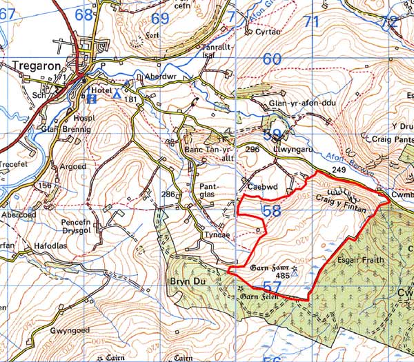
GRID REFERENCE: SN 709576
AREA IN HECTARES: 182.9
Historic Background
This block of upland is now separated from larger tracts of unenclosed moorland further east and south by a forestry plantation. The history of this area is unknown, but it is likely to have been considered unenclosed Crown land for much of the recent past. It is still essentially unenclosed, though division into large enclosures has occurred. There are no settlements.
Description and essential historic landscape components
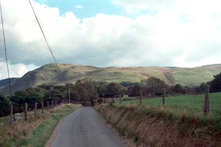
This is a rectangular block of moorland rising from 246m on its northern edge to a maximum of 485m. Its northern edge is characterised by a steep, north-facing craggy valley side, which rises to an undulating plateau of rough grazing, moor and peaty deposits. This block of moorland formerly formed part of a wide expanse of unenclosed land, but is now separated from unenclosed moorland to the east and south by a forestry plantation, and has consequently lost some of its coherence and integrity. Today the area still functions as a sheep-walk. There are some dry-stone walls dividing the area, but these are now mostly derelict and are supplemented by wire fences. The walls seem originally to have separated the unenclosed land from the enclosed land to the west, and divided the area into very large enclosures.
Recorded archaeology consists of a small metal mine, and a Bronze Age round barrow.
The area is well defined with a valley bottom to the north, a forestry plantation to the east and south, and enclosed land to the west.
Base map reproduced from the OS map with the permission
of Ordnance Survey on behalf of The Controller of Her Majesty's Stationery
Office, © Crown Copyright 2001.
All rights reserved. Unauthorised reproduction infringes Crown Copyright
and may lead to prosecution or civil proceedings. Licence Number: GD272221