Base maps reproduced from the OS map with the
permission of Ordnance Survey on behalf of The Controller of Her Majesty's
Stationery Office, © Crown Copyright 2001. All rights reserved. Unauthorised
reproduction infringes Crown Copyright and may ead to prosecution or civil
proceedings. Licence Number: GD272221
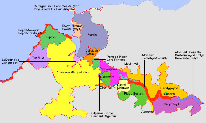
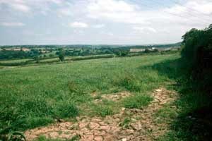
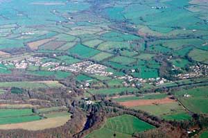
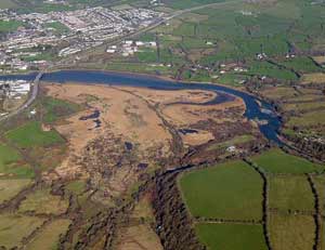
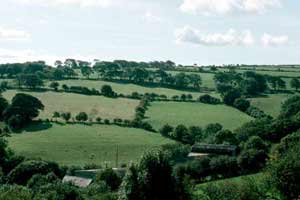
Pasture fields
separated by overgrown hedges on the floodplain characterise the
Afon Teifi: Cenarth – Newcastle Emlyn historic
landscape character area. There are no buildings or other structures. |
|
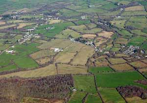
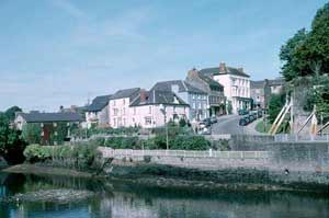
The older
part of Cenarth historic landscape character area
lies to the south of the historic bridge over the Teifi and comprises
a loose cluster of mainly 18th and 19th century stone buildings.
Most modern development lies to the north of the bridge. |
|
The Afon
Teifi: Llechryd – Cenarth historic landscape character
area consists of fields and overgrown hedges across approximately
7 km of floodplain. A timber yard and a walled garden are the only
structures in this character area. |
|
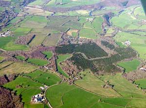
Fields,
dispersed farms, deciduous woodland and coniferous plantions, much
on fairly steep north-facing slopes, characterise the Gellydywyll
historic landscape character area. Farms are generally large, and
include the 19th century model farm of Gelligatti. |
|
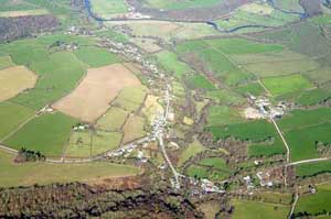
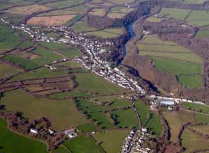
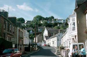
Abercych
is a 19th century industrial linear village spaced along a minor
road on a steep valley side. Older buildings date to the 19th century
and are stone-built. Modern housing infills the gaps between these
older structures. |
|
Plas-y-Berllan
is an agricultural historic landscape character area lying on the
south side of the Afon Teifi. Buildings of the dispersed farms and
houses mainly date to the second half of the 19th century and are
of stone. Hedges on banks form the boundaries to the fields. Steeper
slopes are covered with deciduous woodland with a little coniferous
plantation. |
|
Dispersed
farms set in a landscape of pasture fields and deciduous woodland
on the north side of the Afon Teifi characterise the Llandygwydd
historic landscape character area. Older buildings range from Georgian
gentry houses to cottages. All are stone-built and most date to
the 19th century. |
|
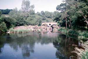
A cluster
of 19th century stone-built houses and chapels immediately north
of a 17th century bridge over the Afon Teifi forms the core of Llechryd
historic landscape character area. Modern houses and other buildings
lie on the village fringe. |
|
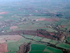
Small
fields bounded by overgrown hedges and dispersed farms are the main
components of Croes-y-Llan historic landscape character
area. Small farms evenly spaced along the main A484 road are a feature
of this landscape. |
|
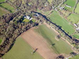
Coedmore
historic landscape character area essentially consists of the Georgain
Coedmore mansion, its park and gardens, with surrounding deciduous
woodland and coniferous plantations. |
|
A
Georgian mansion, its surrounding park and gardens, other estate
buildings such as lodges, stable and service yards, and a home farm
are the main elements of Castell Malgwyn historic
landscape character area. |
|
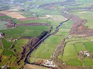
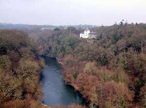
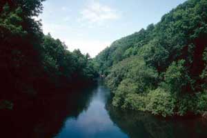
The Cilgerran
Gorge historic landscape character area consists of that
part of the Afon Teifi valley that narrows before entering the tidal
zone. Valley sides are steep and heavily wooded. No inhabited buildings
are included, although several extensive old stone quarries are
located on the south side of the gorge. |
|
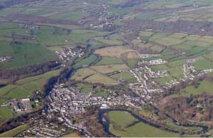
Historically
a town, Cilgerran is essentially a liner settlement
of mainly 19th century stone-built houses and the ruins of a large
medieval castle. |
|
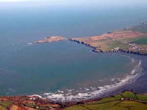
Although
rarely over 100m wide, the Cardigan Island and Coastal Strip
historic landscape character area consists of over 5km of hard rock
sea cliff and rough ground along the cliff top. |
|
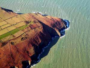
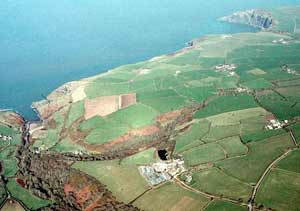
The Coastal
Strip – Popitt to Newport historic landscape character
area contains 19km of high, hard rock sea cliff and cliff top. The
Pembrokeshire Coast Path runs along the marginal land of the narrow
coastal strip. |
|
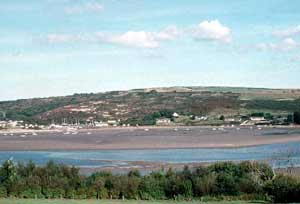
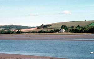
Pentood
Marsh historic landscape character area lies at the upper
tidal limits of the Afon Teifi. It is now a nature reserve. An old
railway that crosses the marsh has been converted to a footpath. |
|
Focused
upon the remains of a medieval castle and bridge over the Afon Teifi,
Cardigan is a complex urban landscape. Towards
the end of the 19th century brick replaces stone as the main building
material. There is extensive modern development on the fringes of
the historic town core. |
|
St
Dogmaels is an old, unplanned settlement centred on the
remains of a ruined abbey. Houses date mainly to the 19th century,
and while many are stucco over stone or brick, a significant number
are of banded stone. |
|
Scrub over
wind-blown sand and 20th century houses, bungalows, caravan park,
golf club and yacht park are the main components of the Towyn
Burrows and Gwbert historic landscape character area. |
|
The extensive
Crossway – Glanpwllafon historic landscape
character area is overwhelmingly agricultural, with farms ranging
from small gentry holdings with Georgian houses to cottages. Hedges
on banks bound fields, which are larger and more regular than normal
for the lower Teifi valley. |
|
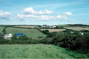
Situated
on a very exposed west-facing coastal slope, Tre-Rhys
is a treeless agricultural historic landscape characterised by dispersed
farms and fields bounded by low, windswept hedges on high banks. |
|
Cippyn
historic landscape character area lies at the extreme western end
of the Teifi valley. It is exposed to westerly gales. Consequently
settlements and woodland are confined to slopes affording some shelter.
Stone and rubble banks topped with windswept hedges bound fields. |
|
Ferwig
is an agricultural historic landscape character area lying at the
extreme western end of the Teifi valley. Dispersed farms set in
fields characterise this area. Many of the buildings are modern,
and there is some clustering of modern and 19th century houses at
Ferwig village. |
|

