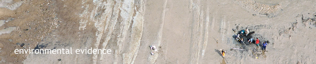
Archaeological excavations in the Severn Estuary by The University of Reading
in 2001
(Photo © RCAHMW Crown Copyright)
|

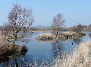
Cors Caron wetlands, Ceredigion; existing habitat reminiscent of the Severn
Estuary in the later Mesolithic
(Photo Roger Kidd)
What were these lost lands like? The mapping by The University of Birmingham allows us to envisage for the first time the lost lands beyond the modern coastline of Britain - a landscape of low-lying hills, ever-shifting river courses, floodplains, marshes and lakes. Environmental studies conducted on intertidal sites provide additional detailed information on this landscape. Changes in the climate had a major influence on the landscape and vegetation. As the ice sheets retreated it is thought that these lower lying areas would initially have resembled the treeless, grassy tundra of modern-day Siberia. As temperatures rose, the low-lying areas were covered by wetland marsh, with pine and birch forests eventually becoming established and widespread. Approximately 10,000 years ago Britain was covered by woodland up to a tree line of 2,000 feet or more. Investigations at Bouldnor Cliff, Britain’s first underwater Mesolithic site, 11m deep in the Solent off the Isle of Wight, have revealed an environment that changed over this period; pine forests slowly replaced by oak and hazel and the formation of brackish and tidal flats before total inundation. Professor Martin Bell has recorded evidence for Mesolithic oak woodland existing approximately 7,800 years ago at the archaeological site of Goldcliff East, on the Severn Estuary. This site now lies in the modern intertidal zone but, around 7,500 years ago it was situated on the edge of a former bedrock island that was surrounded first by forest, then by a changing wetland habitat of sometimes reed swamp, fen woodland or saltmarsh with open sea at high tide. Pollen, insect and plant samples taken from an area of the submerged forest demonstrate that the woodland had colonised a once predominantly open landscape of reed swamp and sedge fen. As the coast of Wales receded to roughly its current extent, the habitat of the coastal margins may have variously been reed swamp, peat bog and woodland before becoming seashore, estuarine mud or rocky foreshore. |
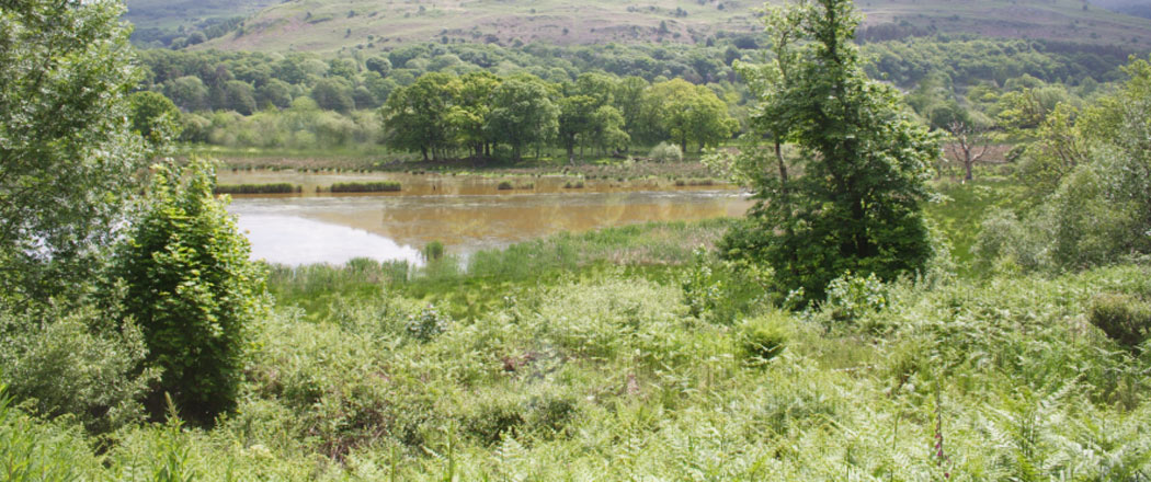
Ynys Hir wetlands, Ceredigion; existing habitat reminiscent of the Severn
Estuary in the later Mesolithic
(Photo Dyfed Archeological Trust)