Home > Historic Landscapes > Black Mountain and Mynydd Myddfai > |

237 ALLT Y FERDRE 
GRID REFERENCE: SN 798335
AREA IN HECTARES: 339.00
Historic Background
An area which is highly irregular in plan, comprising the wooded slopes
which form the southern flank of the Afon Gwydderig. It once lay within
Hirfryn commote of Cantref Bychan, which was invaded by the Anglo-Normans
under Richard Fitz Pons who established a caput at Llandovery in 1110-16
(Rees n.d.), though it later reverted to Welsh rule. From 1282 onwards
the Lordship of Llandovery remained under English rule but retained native
tenurial customs until the end of the Medieval period when it was incorporated
within modern Carmarthenshire. During the Post-Medieval period it was
held by the Vaughans of Golden Grove and the Earls of Cawdor (James n.d.,
87). An Iron Age hillfort is present and may have conferred a sense of
continuing importance to the area. The Ferdre place-name suggests that
the area may have formed part of one of the former maerdref estates of
Hirfryn commote. Such estates were normally held by bond tenants who were
in the charge of a reeve, subject to their own legal court and responsible
for the maintenance of the lord's mill, labour and the carriage of produce,
holding their land by inheritance, with perpetual right to their holdings
(Rees, 1924, 200). There is currently very little settlement in the area,
which reflects the situation seen on historic maps. There is some enclosure,
the smaller, irregular fields being earlier - Medieval lynchets have been
recorded in the north of the area - and larger, regular fields which are
later. Much of the area, however, is currently unenclosed, which possibly
reflects historic usage, probably always having mainly comprised steep
wooded valley sides and pasture that was unenclosed until the late 20th-century
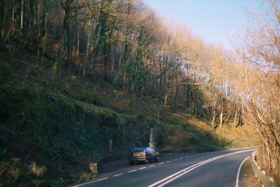
when it was planted with conifers. The Brecon-Llandovery section of the
A40(T), which was turnpiked in the late 18th-century, partly forms the
northern edge of the area.

Base map reproduced from the OS map with
the permission of Ordnance Survey on behalf of The Controller of Her Majesty's
Stationery Office, © Crown Copyright 2001.
All rights reserved. Unauthorised reproduction infringes
Crown Copyright and may lead to prosecution or civil proceedings. Licence
Number: GD272221
Description and essential historic
landscape components
The Allt y Ferdre character area lies across rounded hills and steep,
mainly north-facing slopes of the Afon Gwydderig valley between 110 m
and 240 m. The area is entirely wooded. Some of this is old established
deciduous woodland on the steep slopes, but conifer plantations have infilled
the gaps between to produce an irregular block of forestry covering several
square kilometres. Conifers were planted over former partly-enclosed land
which consisted of both regular and irregular fields. Field boundaries
survive beneath the forestry, but the main historic landscape components
of this area now comprise the tracks and drives of the plantation.
Recorded archaeology provides time-depth but is confined to an Iron Age hillfort which survives as a scheduled earthwork, and a Medieval cultivation terrace.
There are very few buildings and none of them are distinctive. Landscape character areas have yet to be defined to east and north. To the west and south lie the farms and fields of neighbouring areas.