Home > Historic Landscape Characterisation > Upland Ceredigion > |


 CAMBRIAN MOUNTAINS
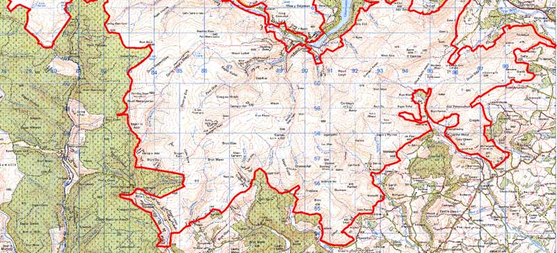
GRID REFERENCE: SN 879665
AREA IN HECTARES: 298840
Historic Background
This very large area of high upland straddles the Ceredigion-Powys county boundary. The largest proportion lies within Powys, and, as this is outside the study area, has not been examined in detail. Historically a large part of this area lies within Strata Florida Abbey’s granges of Pennardd, Mefenydd, Cwmteuddwr and Cwmystwyth (Williams 1990, 56-57). By the end of the Medieval Period, and perhaps earlier, the granges had been separated into farms, leased out and farmed on a commercial basis. It is uncertain how the upland sections of the granges would have functioned. Parts of the upland fringes undoubtedly comprised farms - a document of 1545-50 (Morgan 1991, 5-7) names farms now abandoned in an upland situation - but presumably most upland served as rough pasture used on a seasonal basis. Williams (1990, 59) cites a document that indicates transhumance in Mefenydd Grange. Other monastic uses included peat cutting and a fishery in the Teifi Pools. It is likely that on the Dissolution the Crown would have claimed unenclosed land, with farmed land first leased and later purchased by incipient estates, notably in this area the Crosswood and Powis Castle estates. Land acquired by the latter in and around Cwmystwyth eventually formed the Hafod estate. These estates were eager to increase the extent of their holdings, and engaged in the illegal enclosure of unenclosed Crown land, a process that was at its most active in the late 18th and early 19th centuries. Legal means were also employed. Enclosure Acts were sponsored. The two within this area, Gwnnws of 1815 and Llanfihangel-y-Creuddyn of 1866 (Chapman 1992, 50, 53), enclosed vast tracts of upland, as did an 1815 proposed act for the area of Teifi Pools (NLW Crosswood 347), but their physical effect on the landscape was minimal. In the 20th century, land improvement hand in hand with enclosure has nibbled away at waste and moorland. It was by these legal and illegal means that unenclosed land was reduced to its present extent. Crossing the area are several important trans-mountain natural route-ways linking farming communities and the markets of Ceredigion with lands and towns to the east. These trans-mountain route-ways are most celebrated by drovers in the historical period, but they are likely to be of greater antiquity. They not only provided communication across the Cambrian mountain chain, but allowed access onto the high moorland for the establishment of permanent or seasonal settlement, for the grazing of animals and for peat cutting. The route-way from Cwmystwyth to the east to Rhayader and beyond was converted to a turnpike in 1770 (Colyer 1984, 176-82), but was superseded by the opening of a new turnpike (the current A44) to the north in 1812.
Description and essential historic landscape components
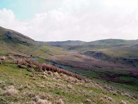
This is a very large upland area. It achieves peaks of over 500m, is on average approximately 400m high and rarely falls below 300m. Craggy outcrops on some of the higher summits and around Llyn Teifi provide much needed drama in an otherwise drab and monotonous landscape. Unimproved very rough grazing dominates with blanket bog at higher levels and peaty deposits in most hollows and valleys. There is some improved grazing, mostly on lower slopes where occasional wire fences divide the area. There are a few widely dispersed farms, in particular on the Powys side of the border. These are traditionally stone built, surrounded by a collection of modern farm buildings, and situated within a system of a few fields whose boundaries consist of earth banks, but where wire fences now provide the stock-proof barriers. The fields attached to these farms now comprise improved pasture, and there are further blocks of unenclosed improved pasture close by. This is a treeless landscape. Overall this is a landscape of unenclosed moorland.
Recorded archaeology is only described for the Ceredigion portion of this area. Archaeology adds greater time-depth to the landscape, as numerous Bronze Age round barrows and a standing stone suggest occupation within this area even at high altitude, although no settlement sites are known. However, post-Medieval settlement sites and other sites of the period such as folds, enclosures, shelters and field systems indicate that the lower-lying fringes of this area were occupied, through to the 19th century. Metal mining remains are also present.
This is a very well defined area and is either bordered by large blocks of upland forestry, or by lower lying enclosed and settled land. On the eastern side, in Powys, the boundaries of this area have not been accurately defined.
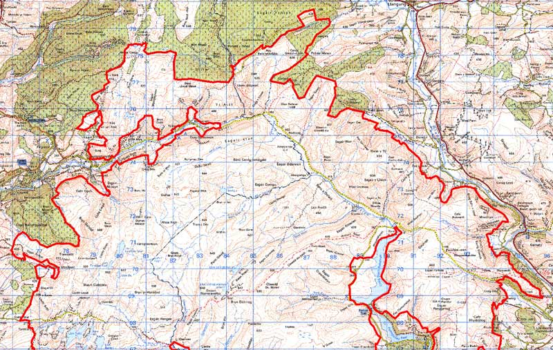
Cambrian Mountains North
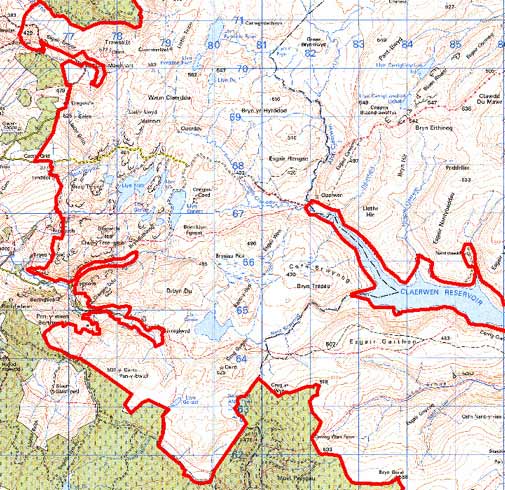
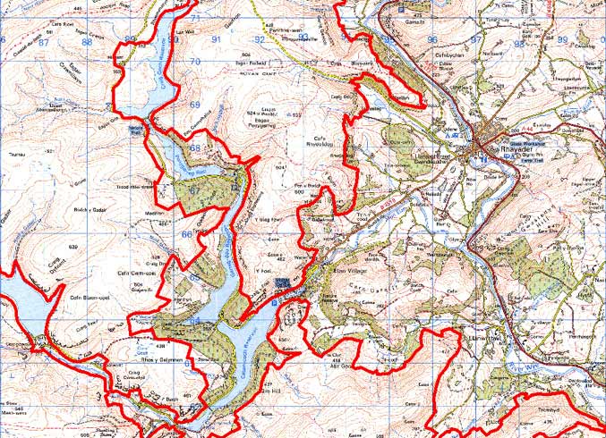
Cambrian Mountains Central
Cambrian Mountains South
Base map reproduced from the OS map with the permission
of Ordnance Survey on behalf of The Controller of Her Majesty's Stationery
Office, © Crown Copyright 2001.
All rights reserved. Unauthorised reproduction infringes Crown Copyright
and may lead to prosecution or civil proceedings. Licence Number: GD272221