Home > Historic Landscape Characterisation > Upland Ceredigion > |

 BRYN GWYN
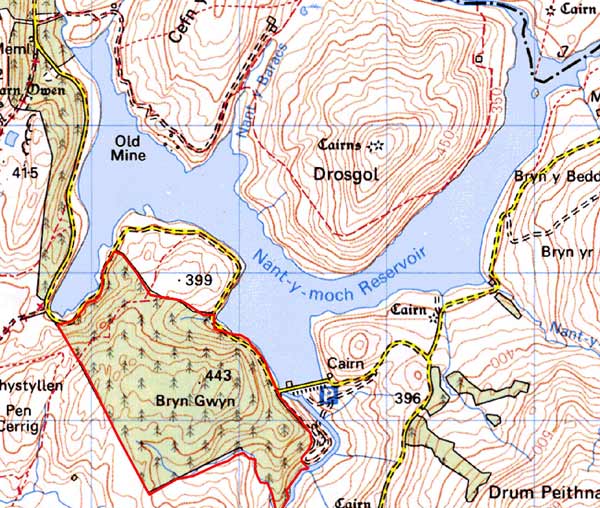
GRID REFERENCE: SN 746862
AREA IN HECTARES: 148.2
Historic Background
This block of high upland within Gwestfa Trefmeurig in Cwmwd Perfedd was probably considered Crown land, although part of it was appropriated or otherwise acquired by the Gogerddan estate by the late 18th century. A late 18th century estate map shows a dwelling - Fagwyr Isaf - in the southeast corner of this area situated in a large tract of open land. The dwelling has now gone. The unenclosed character of the land was maintained until it was acquired by the Forestry Commission and planted with conifers in the 1960s.
Description and essential historic landscape components
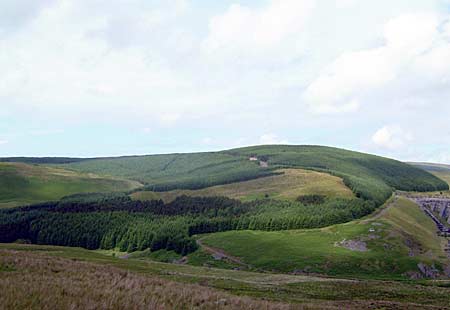
This craggy upland area, which achieves a height of over 440m, is covered by hard-edged conifer plantation. Prior to planting it was unenclosed moorland; now plantations, tracks, roads and other forestry features are the most common and prominent historic landscape components in this area.
Recorded archaeology in this area includes an Iron Age hut circle, and three post-Medieval long huts at its southern fringe.
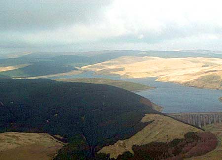
This area is well defined by the forestry edges. To the
west lies unenclosed moorland, and on all other sides unenclosed land
and a reservoir.
Base map reproduced from the OS map with the permission
of Ordnance Survey on behalf of The Controller of Her Majesty's Stationery
Office, © Crown Copyright 2001.
All rights reserved. Unauthorised reproduction infringes Crown Copyright
and may lead to prosecution or civil proceedings. Licence Number: GD272221