Base maps reproduced from the OS map with the
permission of Ordnance Survey on behalf of The Controller of Her Majesty's
Stationery Office, © Crown Copyright 2001. All rights reserved. Unauthorised
reproduction infringes Crown Copyright and may ead to prosecution or civil
proceedings. Licence Number: GD272221
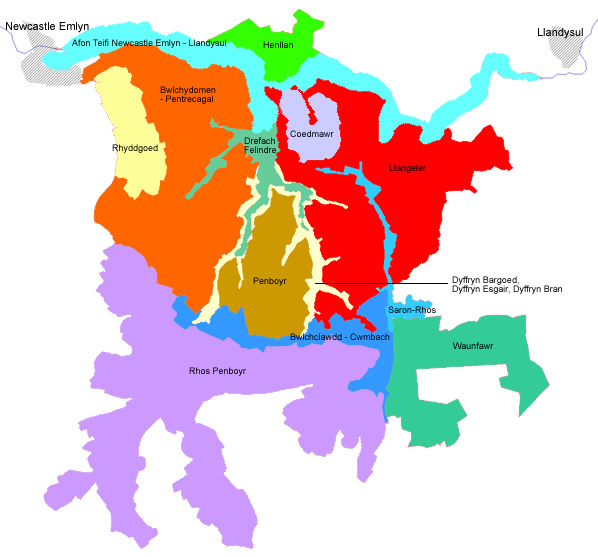
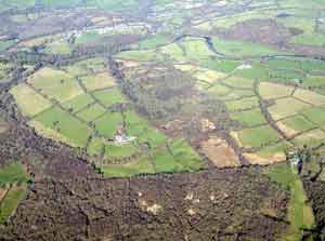
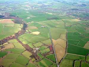
Drefach
– Felindre is an industrial historic landscape character
area based on the woollen industry. Stone-built mills, workers’
houses, owners’ houses, churches and chapels clustered in
several villages attest to the rapid expansion of this industry
in the late 19th century and early 20th century. |
|
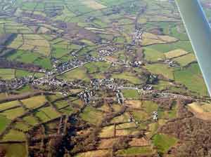
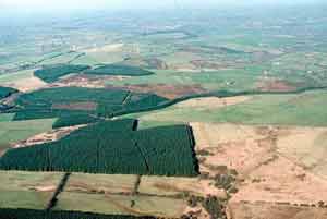
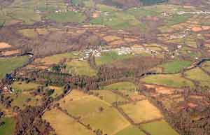
Deciduous
woodland on steep valley sides above the industrial settlements
of Drefach and Felindre characterises the Dyffryn Bargoed
and Dyffryn Esgair historic landscape character area. |
|
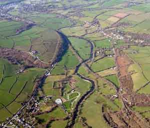
The Afon
Teifi: Newcastle Emlyn – Llandysul historic landscape
character area comprises the rich pasture of the floodplain. There
are no houses but two 18th century stone bridges are included. |
|
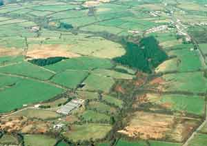
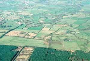
Small regular
fields created by an Act of Parliament in 1855 and deciduous woodland
characterise the relatively small Coed Mawr historic
landscape character area. |
|
Dispersed
farms within a landscape of pasture fields with deciduous woodland
on steeper slopes and a few late 19th century woollen mills and
workers’ houses close to the Afon Teifi characterise the Llangeler
historic landscape character area. |
|
Although small
farms, cottages and other buildings testify to its 19th century
origins, the Saron –Rhos historic landscape
character area is overwhelmingly characterised by modern linear
housing development stretching for several kilometres along the
main A484 road. |
|
The Bwlch-Clawdd
– Cwmbach historic landscape character area appears
to have developed during the late 18th century when farms and small
fields were established on open moorland. Most buildings in the
area are modern. Two Bronze Age round barrows and the early medieval
Clawdd-Mawr dyke are included in this area. |
|
An 1866
Act of Parliament enclosing open moorland into fields created much
of today’s Rhos Penboyr historic landscape
character area. Small farms, coniferous plantations, a World War
2 ‘stop line’ and three wind turbines have been subsequently
established. |
|
The Waunfawr
historic landscape character area largely results from an 1866 Act
of Parliament enclosing moorland in regular fields and bisecting
it with straight lanes. Small farms were later established. Two
Bronze Age round barrows survive from a much earlier age. |
|
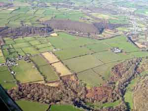
A close distribution
of small farms in a landscape of fields bounded by hedges on banks
characterises the Penboyr historic landscape character
area. Apart from a few modern houses, almost all the buildings in
this area date to the 19th century. |
|
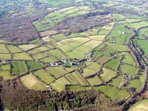
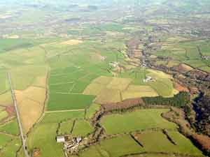
Dispersed
farms, fields and deciduous woodland on steep valley sides, with
a scatter of late 19th century workers’ houses close to Drefach-Felindre
characterise the Bwlchydomen-Pentrecagal historic
landscape character area. |
|
Rhyddgoed
is a relatively small historic landscape character area and consists
of regularly shaped fields and dispersed farms. Most buildings date
to the 19th century. |
|
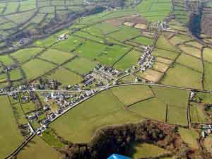
Henllan
is a small but complex historic landscape character area comprising
a 19th century village focused on an old railway (now a tourist
line) and a World War 2 prisoner of war camp, now largely converted
to other uses, surrounded by deciduous woodland and farmland. |
|