Home > Historic Landscape Characterisation > Upland Ceredigion > |

 HEN GAER
GRID REFERENCE: SN 640846
AREA IN HECTARES: 282.7
Historic Background
This area lay within Strata Florida’s Y Dywarchen Grange in the Medieval Period, and may have included the site of a gallows (Williams 1990, 57). In the post-Medieval Period the area passed into the hands of the small independent estate of Court Farm and the Gogerddan estate. Estate maps of the late 18th century show the area as either unenclosed, enclosed with medium-sized fields or as a plantation. The plantation belonged to the Gogerddan estate, and has been replanted with conifers by the Forestry Commission. By the 1840s the whole area had been enclosed. The general impression from estate maps is of a landscape that was open until the mid 18th century, even at lower levels of 50m. A single farmstead/cottage - Ty’n y cwm - is probably of post-Medieval date.
Description and essential historic landscape components
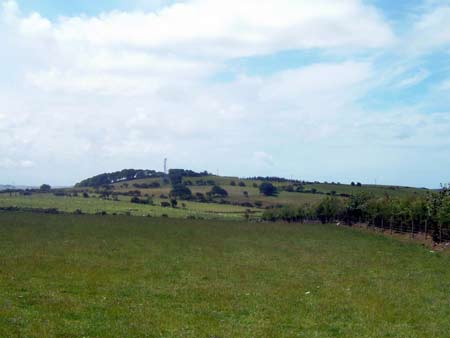
This area lies across the western terminal of a rounded, east - west aligned ridge. The ridge crest achieves a height of 160m, the flanks run down to about 50m. The whole of the area is under a regular field system of medium-sized enclosures. The fields are divided by earth banks topped with hedges. These hedges are generally in good condition, though are usually augmented with wire fences. Improved pasture dominates the landscape, with a coniferous plantation under-planted on an older deciduous plantation at the western end, and coniferous and deciduous plantations at the eastern end.
There are few sites in the archaeological record for this area, but those that are known provide great time-depth to the landscape. The most prominent site is a substantial Iron Age hillfort, Hen Gaer, which lies on the crest of the ridge. Other sites include: finds of Roman date, a Bronze Age round barrow and burnt mound; the latter possibly indicating a settlement, and a place-name suggesting pillow mound or rabbit warren of Medieval or later date.
To the west, south and north lower lying more ancient enclosed and settled land provides a clearly defined boundary with this area. To the east the area is historically similar to this area, but the field boundaries have become derelict and the appearance of the land to the east is now quite different.
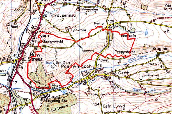
Base map reproduced from the OS map with the permission
of Ordnance Survey on behalf of The Controller of Her Majesty's Stationery
Office, © Crown Copyright 2001.
All rights reserved. Unauthorised reproduction infringes Crown Copyright
and may lead to prosecution or civil proceedings. Licence Number: GD272221