Home > Historic Landscape Characterisation > Carmarthen Bay Estuary Area > |

 PEMBREY BURROWS
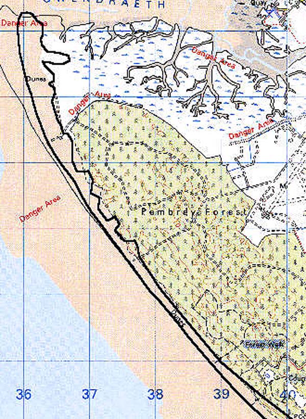
GRID REFERENCE: SN 376026
AREA IN HECTARES: 444.10
Historic Background
The area occupies that part of Pembrey (or 'Towyn') Burrows which is not planted with coniferous forest, ie. a narrow strip averaging some 150 m wide on the seaward side of Pembrey Forest. The Burrows developed at the mouth of the River Gwendraeth Fawr over a long period, alongside a series of reclamations around an initial nucleus formed by a tongue of dry land at the foot of Mynydd Penbre. The Burrows have developed since the 17th century at least but, according to James, are no earlier than the Medieval period. Their seaward development continues, and that part occupied by this area has only developed since 1830 (James 1991, 155). The area was incorporated into the system of Second World War defences around Pembrey Airfield and Ordnance Factory.
Base map reproduced from the OS map with the permission
of Ordnance Survey on behalf of The Controller of Her Majesty's Stationery
Office, © Crown Copyright 2001.
All rights reserved. Unauthorised reproduction infringes Crown Copyright
and may lead to prosecution or civil proceedings. Licence Number: GD272221
Description and essential historic landscape components
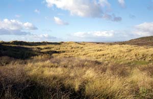
An unenclosed maritime area of sand hills, just above sea level but individually rising to over 2 m, which have developed since 1830. A shifting environment though partly stabilised through marram-grass planting.
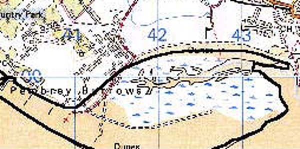
Two Second World War gun emplacements occupy the northern part of the area, otherwise it features no recorded archaeology.
There are no distinctibve buildings.
A very distinct landscape area bounded by High Water Mark to the south and west, an area of saltmarsh to the far north, and coniferous forest plantation and a 20th century military/leisure landscape to the north and east.
 |
 |