Home > Historic Landscape Characterisation > Carmarthen Bay Estuary Area > |

 WHITEHILL MOOR
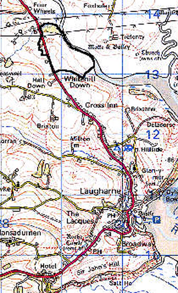
GRID REFERENCE: SN 290133
AREA IN HECTARES: 43.42
Historic Background
Whitehill Moor lay within the Medieval Lordship of Laugharne and comprised part of the lands granted to the burgesses of Laugharne by Sir Guy de Brian in 1278-82 (Williams, n.d). The burgesses farmed the land in an open- or strip-field system, a system that is still used on Whitehill Moor to this day. The moor is divided into numerous strips or shares, each separated by a baulk called a landscar or landsker (Davies, 1955). The strips are no longer allotted to burgesses on an annual basis, but are awarded for life. In the past this system would have been under arable cultivation, but by 1955 only a few strips were farmed in this manner, and today the moor is used for hay and the overwintering of cattle.
Base map reproduced from the OS map with the permission
of Ordnance Survey on behalf of The Controller of Her Majesty's Stationery
Office, © Crown Copyright 2001.
All rights reserved. Unauthorised reproduction infringes Crown Copyright
and may lead to prosecution or civil proceedings. Licence Number: GD272221
Description and essential historic landscape components
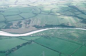
This is essentially one large field which rises gently from sea level on the Taf estuary to 40m at its western edge. It is part of the surviving open field system of Laugharne. Arable cultivation is no longer carried out at Whitehill Moor, but the strips or shares survive. The majority of the shares run across the full width of the field from east to west, though at the northern end shorter, narrower strips run from north to south. Strips are divided by low narrow turf baulks. In some parts of the moor these baulks are almost undetectable, but they mostly survive as very low earth banks or on steeper slopes as lynchets. The moor is separated from the surrounding land by a earth bank topped with a hedge. It is cut for hay in July-August and grazed by cattle in the winter. There is no woodland.
Recorded archaeology is limited to a possible Medieval settlement associated with the field system.
There are no buildings.
Whitehill Moor is a rare survivor of an open field system and is therefore characteristically different from the surrounding historic landscape areas, the flood plain of the Taf to the northeast, and the enclosed farmland to the north, west and south.